
The Land
Glacier Rocks: How the Ice Age Shaped Northeast Ohio
How Ice Age glaciers carried Canadian boulders into Northeast Ohio and left behind the till, kettles and rolling ground of Stark County.
Glacier Rock Vineyard · · 4 min read
Pick a field clean of stones in Northeast Ohio, and by the next spring it may well have grown a new crop. People once believed that stones simply grew in the soil. The real story is stranger, and part of it begins about 24,000 years ago, when a sheet of ice that had been building in Canada reached northern Ohio.
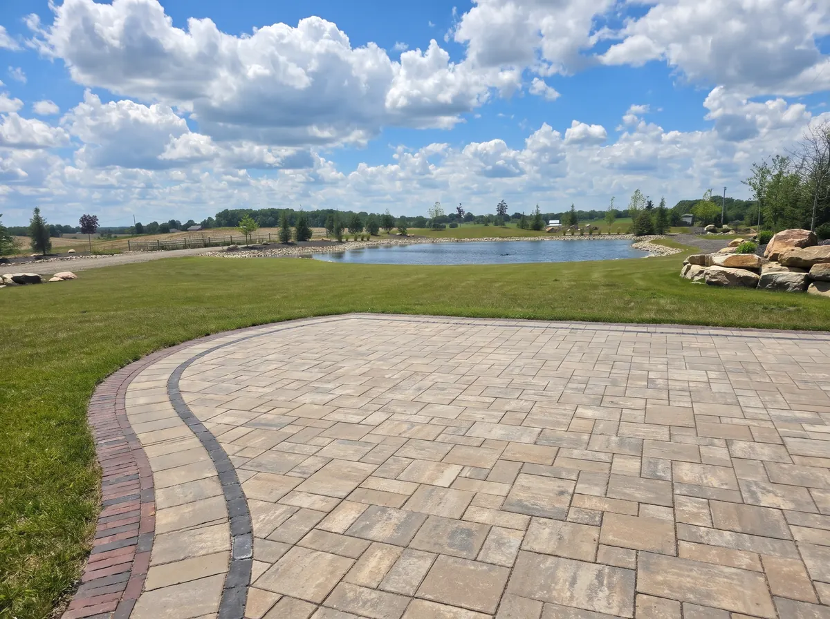
Not every stone in that field belongs here. Some are rounded and heavy, speckled like granite or banded like gneiss, made of a kind of rock that is not exposed anywhere in Ohio's bedrock. Geologists call them erratics. The plainer name, glacier rock, is the one this estate carries.
When the ice came south
During the Ice Age, great ice sheets spread south from Canada and melted back many times. In Ohio, geologists recognize deposits from three of those glaciations: the pre-Illinoian, the oldest; the Illinoian, about 300,000 years ago, which covered more of Ohio than any other; and the Wisconsinan, the most recent.
The Wisconsinan ice began to build in Canada about 70,000 years ago but did not reach northern Ohio until about 24,000 years ago. Geologists estimate it may have been a mile thick over the Erie basin and about 1,000 feet thick over central Ohio. By about 14,000 years ago, the last of it was gone from the state.
Together, the glaciers left their deposits across about two-thirds of Ohio. The hilly southeast was spared. The edge of the glaciated country runs as a long diagonal across the state, from the Cincinnati area toward the Pennsylvania line.
Stark County sits right along it. Here the boundary between glaciated and unglaciated ground cuts across only the county's southeastern corner, and the rest of the county was overridden by ice. That is what it means to say Northeast Ohio lies near the southern reach of the last great ice sheet.
The ice came into Stark County as two broad lobes. The Grand River lobe spread over most of the eastern part of the county and the Killbuck lobe over the west. The two met north of Canton, along the West Branch of Nimishillen Creek.
What the ice left behind
As a glacier moves, it picks up soil and broken rock, grinds much of it fine and carries the whole load along. When the ice melts, it drops that load in place: an unsorted mix of clay, silt, sand, pebbles and boulders that geologists call till. Where till lies in a fairly even blanket, it forms ground moraine. Where the edge of the ice paused, till piled up into ridges called end moraines.
Meltwater did the sorting the ice never did. It washed sand and gravel into mounds called kames and spread more of it down valleys and across plains as outwash. Kettles formed when blocks of ice broke off the glacier and were buried in sediment. When the buried ice finally melted, the ground sank into a basin that filled with water. Many of Ohio's small glacial ponds and lakes began that way, though many have since filled in and turned to swamp.
Stark County shows nearly the whole catalog. Its glaciated ground is mostly flat to rolling, with glacial deposits ranging from a few feet thick on bedrock ridges to 250 feet in buried valleys. Around Canton, kames rise as knolls up to 100 feet high, and the city itself is built on a broad outwash plain.
A belt of kames and kettles follows the Kent Moraine north from Plain Township, and near Hartville, large kettle holes full of dark muck soil have been drained and are now farmed. Even Lake Erie is the glaciers' work. It reached its present form only about 4,000 years ago.
The erratics stand out because the bedrock exposed across Ohio is sedimentary. Under Stark County, it is layered sandstone, limestone, shale, coal and clay. Erratics are crystalline rock, among them granite, diorite and gneiss from the ancient Canadian Shield. The ice plucked them from outcrops hundreds of miles to the north, carried them south and set them down as it melted. Some weigh many tons.
They keep surfacing because of frost. Ground freezes from the top down, and as it does, layers of ice grow in the soil and heave it upward. Frozen soil grips a buried stone and lifts it too. When the thaw comes, the space left beneath the stone can collapse or fill with loose debris, so the stone seldom sinks all the way back. Winter after winter, it rises. Geologists call this frost pull, and it accounts for most of the stones that reappear on cleared fields each spring.
What glacial ground can mean for vines
Glacial soil is not one thing. In Stark County's till country, the soil is often a silt loam, sometimes with a fragipan, a dense, cemented layer below the surface that slows water seeping down. On kames and outwash, the soils run to sandy loam, sand and gravel, which let water pass quickly. In old kettles and other wet hollows, decayed plants have built up muck.
For a grapevine, that difference matters. Ohio State University's grape specialists name higher ground and well-drained soil as starting points for a vineyard, and where the soil does not drain well, they call for drainage tile between the rows.
Glacial origin alone does not make a site good or bad for grapes. The deposits can change over short distances, from till to gravel to muck, and the grower's real work is learning a particular piece of ground: its texture, its slope and where the water goes after a hard rain.
The ice has been gone from Ohio for some 14,000 years, yet it still shapes the hills, the hollows that hold water, the soil underfoot and the granite that works its way up through it, one frost at a time. Here in Louisville, Glacier Rock takes its name from those long-traveled stones.
Sources
- The Ice Age in Ohio, Educational Leaflet No. 7 (Ohio Department of Natural Resources, Division of Geological Survey)
- Ground Water Pollution Potential of Stark County, Ohio (Ohio Department of Natural Resources, Division of Water)
- Glacial Erratics Mark the Graves of Glacial Geologists (Joe Hannibal, Cleveland Museum of Natural History)
- Frost Heave (Geo News, North Dakota Geological Survey)
- Wine Grapes (The Ohio State University South Centers)